Offer Discount
$250.00 $200.00
Reconstructor® can import different data formats and extract multiple information, then exportable in other modeling software.
-
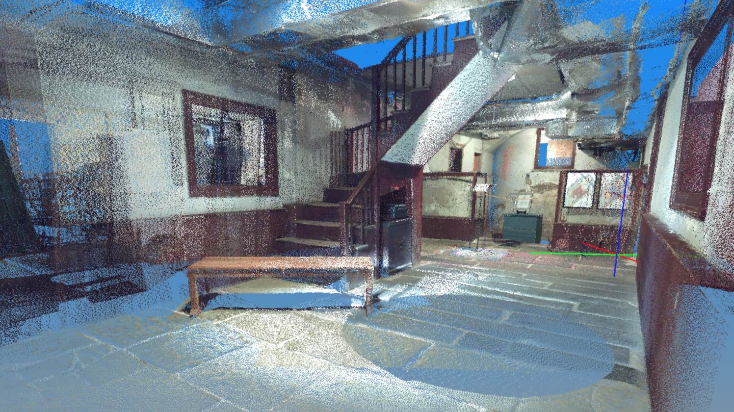
Imported data: Point clouds from LiDAR, UAV, total station in open formats; Scans in native formats from 3D laser scanner sensors; Meshes, CAD/BIM models and polylines; Colorization of raw scans (FARO and TOPCON supported); Projects from third parties lidar software (RIEGL RiSCAN PRO, Z+F LaserControl (thermal camera included), FARO Scene and TOPCON).
-
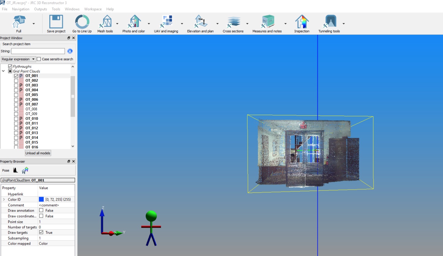
Main features: Point clouds filtering and editing; Automatic and manual scans registration; Meshing; Advanced data analysis.
-
Main outputs: Mesh models; 3D distances; Areas; Volumes; Cross sections and isolines; Mesh borders and edges; Orthophotos and X-Ray orthophotos; Change detection; Planarity and verticality maps; Fly-through videos.
-
Laser scanners compatibility: DotProduct, Faro, Riegl, Stonex, Surestar, Teledyne-Optech, Topcon, Velodyne, Z+F.
-
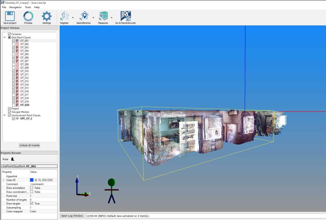
Included: LineUp technology for automatic target-less scans registration; Gexcel ReCap Plug-in* to connect Reconstructor with ReCap Pro™
Description
IMPORT-EXPORT-OUTPUT
IMPORT
– Point clouds from LiDAR, UAV, total station in open formats
– Scans from 3D laser scanner sensors
– Meshes, CAD models and polylines
– Colorization of raw scans (FARO and TOPCON supported)
– Projects from RIEGL RiSCAN PRO, Z+F LaserControl (thermal camera included), FARO Scene and TOPCON
EXPORT
– Point clouds
– 3D mesh models
– .rcp and .rcs formats from Reconstructor to ReCap Pro™. Reconstructor projects (.recprj) and raw data (.rup, .rgp) directly imported in ReCap Pro™
OUTPUT
– Point clouds registration report
– Aligned clouds in open formats and ReCap Pro™
– Mesh models in open formats
– 3D distances
– Area calculation
– Cross sections and isolines
– Mesh borders and edges extraction
– Volume calculation (with .pdf report)
– Orthophotos from point clouds and meshes
– X-Ray orthophotos from point clouds and meshes
– Models change detection (with .pdf report)
– Planarity and verticality maps (with .pdf report)
– Fly-through videos in standard formats
SYSTEM REQUIREMENTS
MINIMAL
- Processor: 64 bit single core
- Main memory (RAM): 4 GB
- Graphics card supporting OpenGL 3.3
- Windows 7 service pack 1
- Mouse with two buttons plus a clickable scroll wheel
- Screen resolution: 1440×960
RECOMMENDED
- Processor: Intel Core i7/ Core i9/Xeon or equivalent, 4 or more physical cores, on a single CPU socket
- Main memory (RAM): 32 GB
- Graphics card supporting OpenGL 4.0 or higher, 4 GB dedicated GPU memory, single GPU (*)
- Windows 10
- Mouse with two buttons plus a clickable scroll wheel
- Screen resolution: 1920×1080 or higher
- Hard disk: SSD or RAID10 HDD array, for optimal data read/write performance


